AGRICULTURE & FORESTRY
AGRICULTURE & FORESTRY
AGRICULTURE & FORESTRY
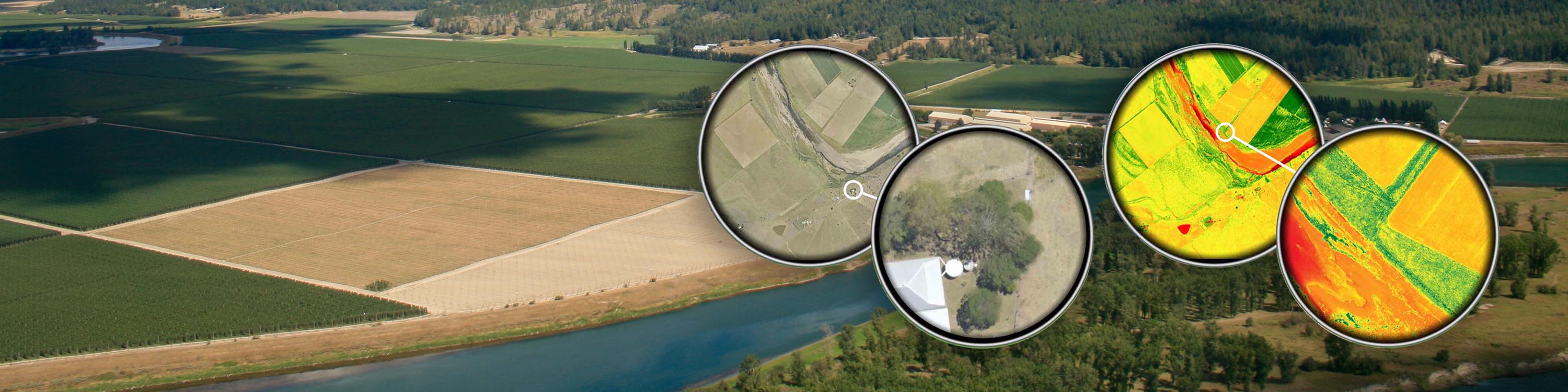
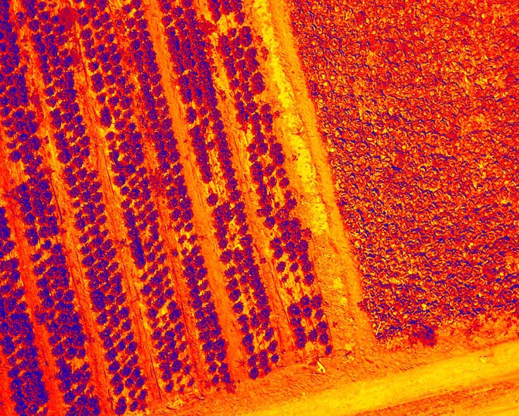
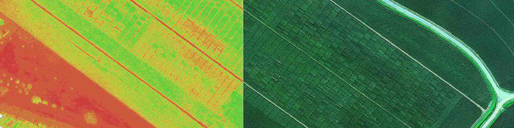
Each crop season is different to the previous one. All players in the agriculture sector are looking for reliable solutions for efficiently observing and characterizing crops so that they can make the right decisions based on the actual situations of fields and crops. At M.A.S, we are convinced that prompt real-time delivery of reliable data on plant health status is essential for meeting these challenges.
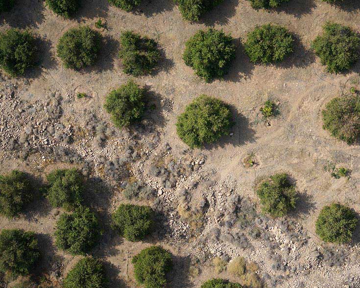
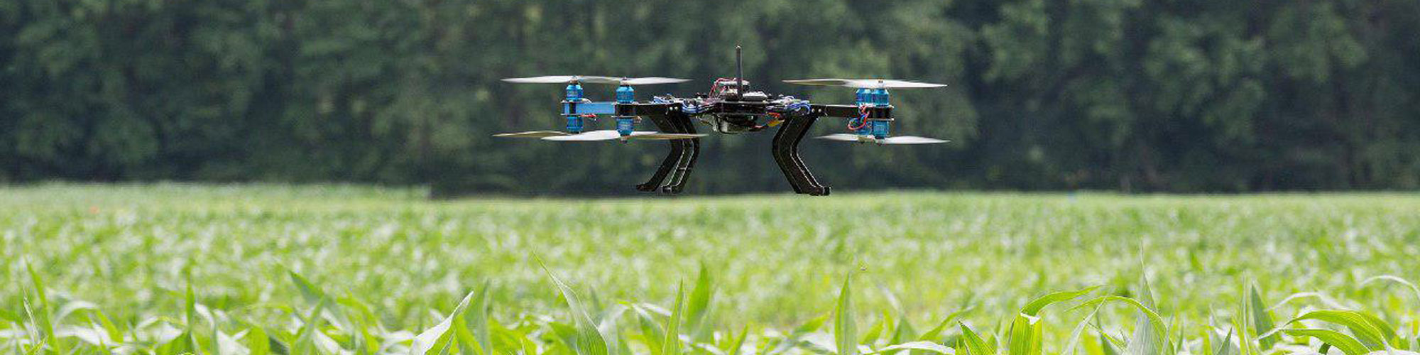
M.A.S has already convinced key players from the agro and forestry industries and is working on major R&D projects such as ‘Precidrone’ with agricultural distributors, academic research institutes and technical institutes. Our products drone has already flown over forests, orchards, row crops and vegetables in many parts of the world.
The right decision requires the best processed data: we handle the full value chain, from drone acquisition with the most sophisticated sensors available to data analysis tailored to your needs – and our drones are capable of covering thousands of hectares in one flight. We can deliver the following reports:
YouTube Api Could not be loaded ! Please Check and Renew SSL Certificate !
The ability to cover varied and uneven terrain makes drones the perfect precision spraying tool. Combined with mapping, the drone sprayer can be used to target specific areas of weeds or disease reducing impact and increasing efficiency.
Early pest detection is a major application of drones in agriculture. Depending on the crop, agricultural producers survey their land several times per week. No surprise here, as pests like the Colorado potato beetle, could spread extremely fast and destroy hundreds of hectares per day.
TA cadastral map will show the boundaries of such parcels but may in addition incorporate details of the resources associated with them, including the physical structures on or beneath them, their geology, soils, and vegetation and the manner in which the land is used.