Geospatial

Geospatial
Geospatial
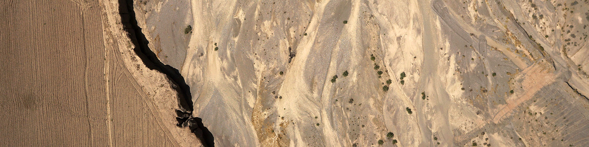
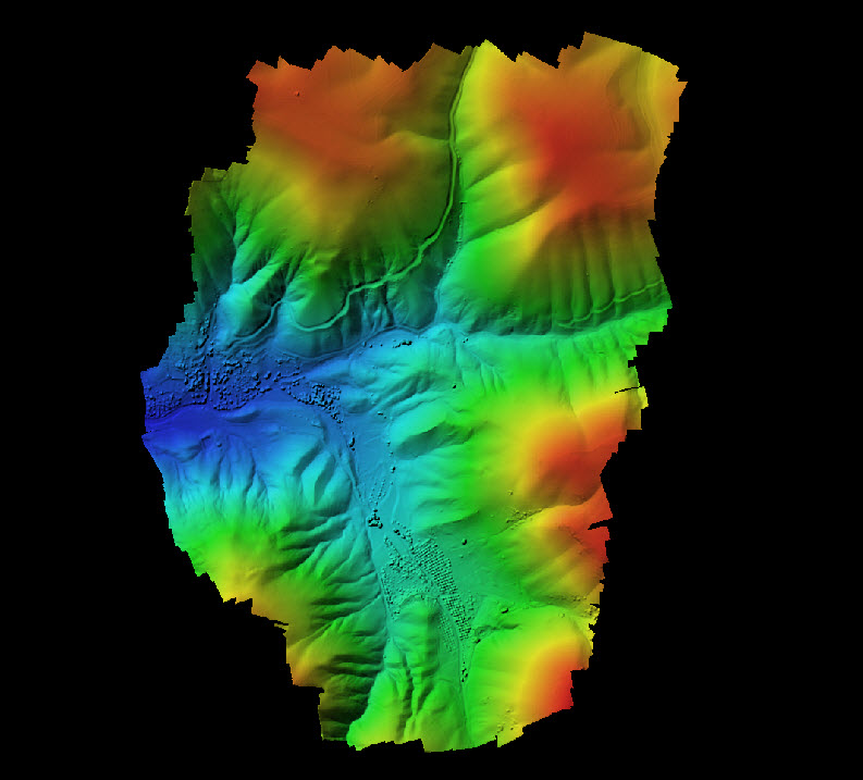
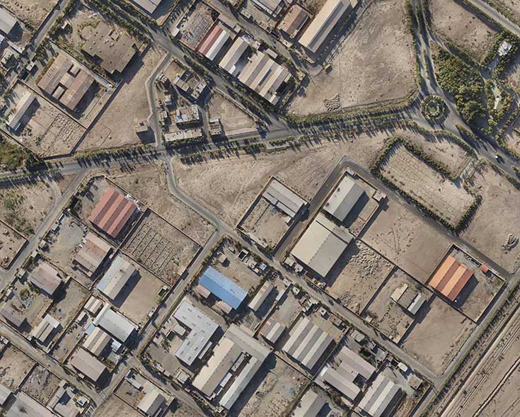
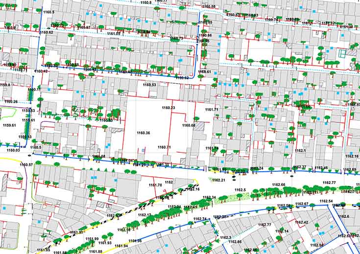
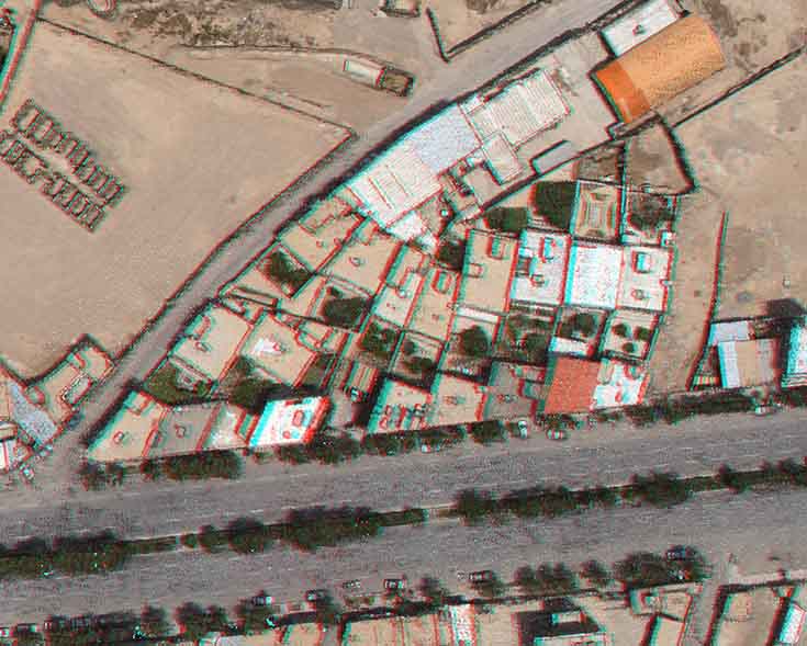
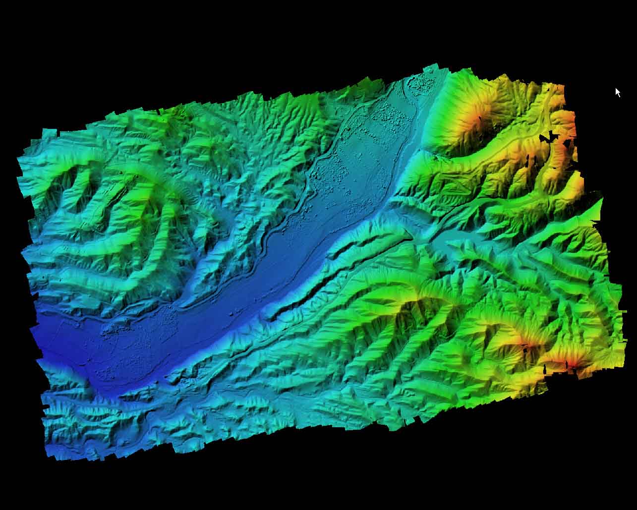
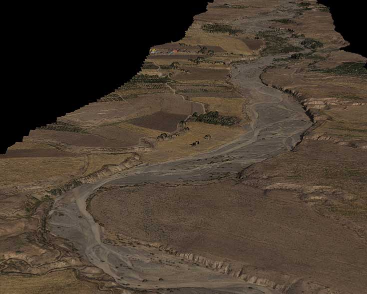
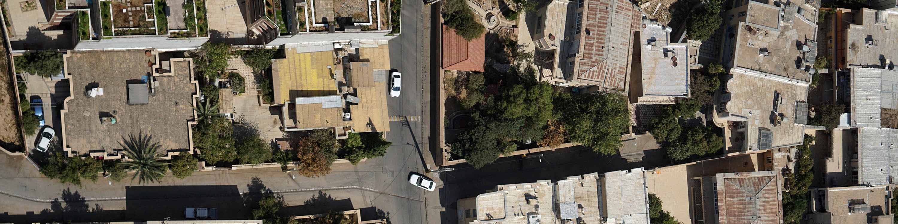
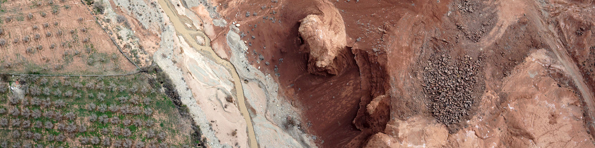
Mapping drones are revolutionizing the way land surveyors and construction professionals use aerial technology, enabling huge time and money savings over traditional methods. UAVs let GIS professionals acquire, process and deliver land surveying data in a timely, accurate and safe way. M.A.S. drone and data solutions automatically generate advanced analytics such as orthomosaics, map creation, digital surface models (DSMs), 3D point clouds and more. Drone data can instantly be used for taking measurements, volume or stock pile calculations, emergency damage mapping. Our unmanned aerial drones perform any data capture even in the high altitude spots or corridor mapping.
Unmanned aerial vehicle (UAV) platforms are nowadays a valuable source of data for inspection, surveillance, mapping, and 3D modeling issues. As UAVs can be considered as a low-cost alternative to the classical manned aerial photogrammetry, new applications in the short- and close-range domain are introduced.
Through MAPPING platform installed on Drone, we can perfectly map and scan the inspected line by processing detailed tridimensional point clouds from which extracting the information necessary to characterize the elements of interest. We can map wide areas very quickly.
UAV lidar and photogrammetry imaging applications are increasing rapidly. This is not surprising as using GPS enabled UAVs for aerial surveying is very cost effective in comparison to hiring an aircraft with photogrammetry equipment. Because UAVs are relatively inexpensive, many organisations will have their own fleet, allowing for rapid surveys over large land areas…